 vesseltracker.com
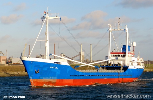
Layla
Current StatusWhere is the vessel?
Layla is currently in Near MARSDEN POINT, based on AIS data received less than 1h ago.
Latest AIS update:
Current position: 35.83451° S, 174.49043° E (Near MARSDEN POINT)
Average speed (last 7 days): Loading…
Average speed (last 30 days): Loading…
Vessel profile: Layla is a General Cargo Ship with dimensions 11m x 66m.
This page combines live AIS, route history, probable destination signals, nearby traffic, and port activity for practical vessel monitoring.
The current position of vessel Layla is -35.83451 lat / 174.49043 lng. Updated: 2026-04-30 19:25:04 UTCNearest reference points:
- Near MARSDEN POINT
- Near Opua
- 10 nm NE of Russel
Details:
Live Vessel Layla Analytics (details, animations, etc.)
Recent AIS points (UTC):
2026-04-30 16:03:26 UTC · -35.83448, 174.49048 · SOG 0 kn · COG 282°2026-04-30 17:42:14 UTC · -35.83452, 174.49043 · SOG 0 kn · COG 282°
2026-04-30 19:05:26 UTC · -35.83452, 174.49045 · SOG 0 kn · COG 281°
2026-04-30 19:25:04 UTC · -35.83451, 174.49043 · SOG 0 kn · COG 282°