 vesseltracker.com
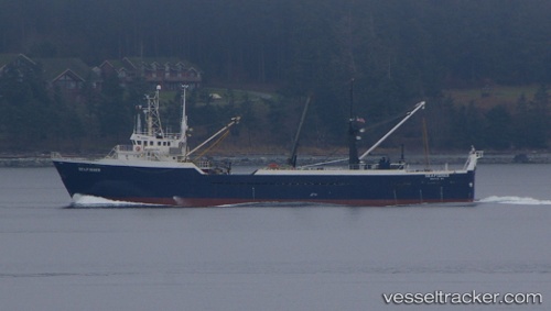
Seafisher
Current StatusWhere is the vessel?
Seafisher is currently in 15 nm N of Mitchem, based on AIS data received about 1h ago.
Latest AIS update:
Current position: 51.90761° N, 174.52126° W (15 nm N of Mitchem)
Average speed (last 7 days): Loading…
Average speed (last 30 days): Loading…
Vessel profile: Seafisher is a Fishing Vessel with dimensions 12m x 70m.
This page combines live AIS, route history, probable destination signals, nearby traffic, and port activity for practical vessel monitoring.
The current position of vessel Seafisher is 51.90761 lat / -174.52126 lng. Updated: 2026-05-15 07:48:22 UTCDetails:
Live Vessel Seafisher Analytics (details, animations, etc.)
Recent AIS points (UTC):
2026-05-15 05:10:02 UTC · 51.89455, -174.93759 · SOG 5.5 kn · COG 91°2026-05-15 05:24:56 UTC · 51.89500, -174.90167 · SOG 6 kn · COG -1°
2026-05-15 07:22:48 UTC · 51.90527, -174.60062 · SOG 6.7 kn · COG 93°
2026-05-15 07:48:22 UTC · 51.90761, -174.52126 · SOG 7.5 kn · COG 91°