 vesseltracker.com
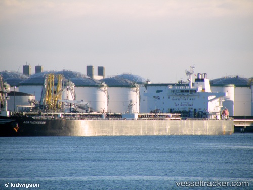
 HALO 6
Current Status
Where is the vessel?
HALO 6 is currently in 49 nm NE of PENGERANG, based on AIS data received less than 1h ago.
Latest AIS update:
Current position: 1.95242° N, 104.69691° E (49 nm NE of PENGERANG)
Average speed (last 7 days): Loading…
Average speed (last 30 days): Loading…
Vessel profile: HALO 6 is a Crude Oil Tanker with dimensions m x m.
This page combines live AIS, route history, probable destination signals, nearby traffic, and port activity for practical vessel monitoring.
The current position of vessel HALO 6 is 1.95242 lat / 104.69691 lng. Updated: 2026-05-15 19:34:55 UTCNearest reference points:
- 47 nm NE of PENGERANG
- 52 nm NE of PENGERANG
- 53 nm NE of PENGERANG
Details:
Live Vessel HALO 6 Analytics (details, animations, etc.)
Recent AIS points (UTC):
2026-05-15 17:00:22 UTC · 1.95194, 104.69701 · SOG 0 kn · COG 271°2026-05-15 17:40:45 UTC · 1.95219, 104.69695 · SOG 0.1 kn · COG 268°
2026-05-15 19:05:20 UTC · 1.95278, 104.69683 · SOG 0.1 kn · COG 240°
2026-05-15 19:34:55 UTC · 1.95242, 104.69691 · SOG 0 kn · COG 256°