 vesseltracker.com
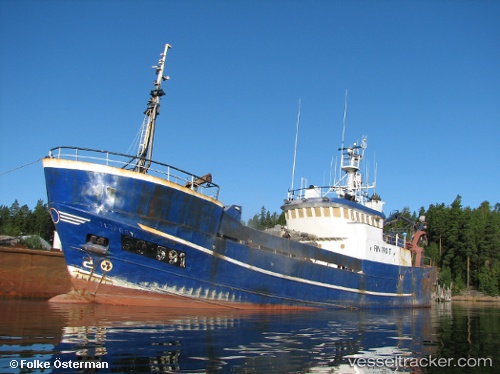
Olgarry
Current StatusWhere is the vessel?
Olgarry is currently in 28 nm SE of Izberbash, based on AIS data received about 112d ago.
Latest AIS update:
Current position: 42.28167° N, 48.36167° E (28 nm SE of Izberbash)
Average speed (last 7 days): Loading…
Average speed (last 30 days): Loading…
Vessel profile: Olgarry is a Fishing Vessel with dimensions 8m x 34m.
This page combines live AIS, route history, probable destination signals, nearby traffic, and port activity for practical vessel monitoring.
The current position of vessel Olgarry is 42.28167 lat / 48.36167 lng. Updated: 2026-01-21 22:06:52 UTCNearest reference points:
- 13 nm NE of Makhachkala
- 42 nm N of Makhachkala
- 53 nm W of Bautino
Details:
Live Vessel Olgarry Analytics (details, animations, etc.)
Recent AIS points (UTC):
2026-01-21 22:06:52 UTC · 42.28167, 48.36167 · SOG 3 kn · COG -1°