 vesseltracker.com
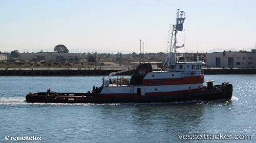
Thomas
Current StatusWhere is the vessel?
Thomas is currently in Near SPARROWS POINT, based on AIS data received about 1h ago.
Latest AIS update:
Current position: 39.21833° N, 76.49667° W (Near SPARROWS POINT)
Average speed (last 7 days): Loading…
Average speed (last 30 days): Loading…
Vessel profile: Thomas is a Tug with dimensions 10m x 36m.
This page combines live AIS, route history, probable destination signals, nearby traffic, and port activity for practical vessel monitoring.
The current position of vessel Thomas is 39.21833 lat / -76.49667 lng. Updated: 2026-05-15 17:55:51 UTCNearest reference points:
- Near DUNDALK
- Near Curtis Bay, Baltimore
- Near Arundel Village
Details:
Live Vessel Thomas Analytics (details, animations, etc.)
Recent AIS points (UTC):
2026-05-15 13:47:30 UTC · 39.21928, -76.49910 · SOG 0 kn · COG 239°2026-05-15 16:06:51 UTC · 39.21910, -76.49755 · SOG 0 kn · COG 223°
2026-05-15 16:18:50 UTC · 39.21908, -76.49757 · SOG 0 kn · COG 224°
2026-05-15 17:55:51 UTC · 39.21833, -76.49667 · SOG 0 kn · COG -1°