 vesseltracker.com
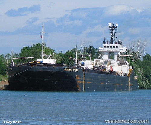
 Everlast
Current Status
Where is the vessel?
Everlast is currently in Near Hannon, based on AIS data received less than 1h ago.
Latest AIS update:
Current position: 43.26619° N, 79.78709° W (Near Hannon)
Average speed (last 7 days): Loading…
Average speed (last 30 days): Loading…
Vessel profile: Everlast is a Pusher Tug with dimensions 157m x 22m.
This page combines live AIS, route history, probable destination signals, nearby traffic, and port activity for practical vessel monitoring.
The current position of vessel Everlast is 43.26619 lat / -79.78709 lng. Updated: 2026-05-15 16:17:58 UTCNearest reference points:
- Near Hannon
- Near OAKVILLE
- Near TORONTO
Currently sailing under the flag of Canada ![]()
Everlast built in 1977 year
Deadweight:
336 tDetails:
Live Vessel Everlast Analytics (details, animations, etc.)
Recent AIS points (UTC):
2026-05-15 13:44:57 UTC · 43.26618, -79.78708 · SOG 0 kn · COG -1°2026-05-15 13:44:57 UTC · 43.26618, -79.78708 · SOG 0 kn · COG -1°
2026-05-15 16:05:59 UTC · 43.26618, -79.78709 · SOG 0 kn · COG -1°
2026-05-15 16:17:58 UTC · 43.26619, -79.78709 · SOG 0 kn · COG -1°