 vesseltracker.com
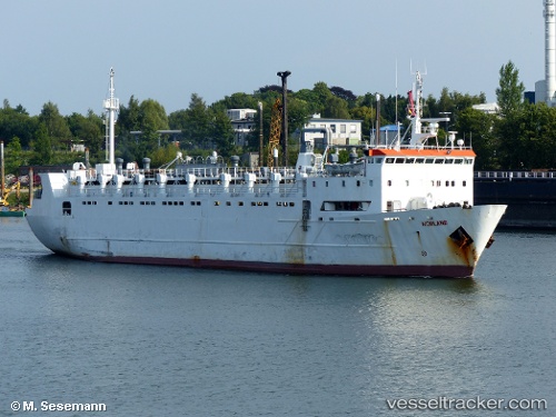
 Norland
Current Status
Where is the vessel?
Norland is currently in 166 nm N of Ilha do Sal, based on AIS data received less than 1h ago.
Latest AIS update:
Current position: 19.50667° N, 23.05500° W (166 nm N of Ilha do Sal)
Average speed (last 7 days): Loading…
Average speed (last 30 days): Loading…
Vessel profile: Norland is a Livestock Carrier with dimensions 86m x 86m.
This page combines live AIS, route history, probable destination signals, nearby traffic, and port activity for practical vessel monitoring.
The current position of vessel Norland is 19.50667 lat / -23.05500 lng. Updated: 2026-05-16 07:29:26 UTCNearest reference points:
- 129 nm N of Mindelo
- 176 nm NE of Ilha do Sal
- 61 nm NW of Ilha do Sal
Currently sailing under the flag of Togo ![]()
Norland built in 1976 year
Deadweight:
1700 tDetails:
Live Vessel Norland Analytics (details, animations, etc.)
Recent AIS points (UTC):
2026-05-16 04:29:27 UTC · 20.02088, -22.66322 · SOG 12.8 kn · COG 217°2026-05-16 06:18:08 UTC · 19.71191, -22.89986 · SOG 12.5 kn · COG 215°
2026-05-16 06:59:24 UTC · 19.59333, -22.99000 · SOG 12 kn · COG -1°
2026-05-16 07:29:26 UTC · 19.50667, -23.05500 · SOG 12 kn · COG -1°