 vesseltracker.com
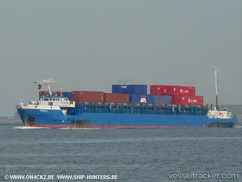
 TEHIA
TEHIA
Current Status
Where is the vessel?
TEHIA is currently in Near San Nicolas, based on AIS data received about 1h ago.
Latest AIS update:
Current position: 33.28694° S, 60.21825° W (Near San Nicolas)
Average speed (last 7 days): Loading…
Average speed (last 30 days): Loading…
Vessel profile: TEHIA is a General Cargo with dimensions m x m.
This page combines live AIS, route history, probable destination signals, nearby traffic, and port activity for practical vessel monitoring.
The current position of vessel TEHIA is -33.28694 lat / -60.21825 lng. Updated: 2026-04-27 22:45:35 UTCNearest reference points:
- 10 nm NW of San Pedro
- Near Quebracho/San Lorenzo
- Near Puerto Alumbrera
Details:
Live Vessel TEHIA Analytics (details, animations, etc.)
Recent AIS points (UTC):
2026-04-27 19:19:50 UTC · -33.01339, -60.59670 · SOG 8.5 kn · COG 137°2026-04-27 20:06:16 UTC · -33.09080, -60.51559 · SOG 7.6 kn · COG 158°
2026-04-27 21:54:26 UTC · -33.19446, -60.28281 · SOG 9.9 kn · COG 136°
2026-04-27 22:45:35 UTC · -33.28694, -60.21825 · SOG 7.7 kn · COG 132°