 vesseltracker.com
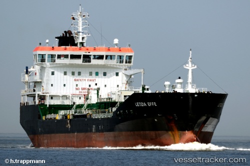
 THOMAS B
Current Status
Where is the vessel?
THOMAS B is currently in Near La Pampilla, based on AIS data received less than 1h ago.
Latest AIS update:
Current position: 11.92361° S, 77.15554° W (Near La Pampilla)
Average speed (last 7 days): Loading…
Average speed (last 30 days): Loading…
Vessel profile: THOMAS B is a Oil/Chemical Tanker with dimensions m x m.
This page combines live AIS, route history, probable destination signals, nearby traffic, and port activity for practical vessel monitoring.
The current position of vessel THOMAS B is -11.92361 lat / -77.15554 lng. Updated: 2026-05-15 03:56:42 UTCNearest reference points:
- Near Callao
- 43 nm SW of Barranca
- 125 nm SW of Supe Bay
Details:
Live Vessel THOMAS B Analytics (details, animations, etc.)
Recent AIS points (UTC):
2026-05-14 21:50:41 UTC · -11.92368, -77.15546 · SOG 0 kn · COG 223°2026-05-14 23:08:45 UTC · -11.92367, -77.15545 · SOG 0.1 kn · COG 223°
2026-05-14 23:32:50 UTC · -11.92365, -77.15543 · SOG 0.1 kn · COG 222°
2026-05-15 03:56:42 UTC · -11.92361, -77.15554 · SOG 0.1 kn · COG 221°