 vesseltracker.com
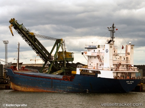
 VIKING
Current Status
Where is the vessel?
VIKING is currently in Near IVANA A, based on AIS data received less than 1h ago.
Latest AIS update:
Current position: 44.74465° N, 13.45324° E (Near IVANA A)
Average speed (last 7 days): Loading…
Average speed (last 30 days): Loading…
Vessel profile: VIKING is a General Cargo with dimensions m x m.
This page combines live AIS, route history, probable destination signals, nearby traffic, and port activity for practical vessel monitoring.
The current position of vessel VIKING is 44.74465 lat / 13.45324 lng. Updated: 2026-04-25 03:42:14 UTCNearest reference points:
- Near Pula
- Near IVANA C
- Near POREC
Currently sailing under the flag of Vanuatu ![]()
Details:
Live Vessel VIKING Analytics (details, animations, etc.)
Recent AIS points (UTC):
2026-04-24 23:24:03 UTC · 45.19362, 13.07469 · SOG 7.2 kn · COG 169°2026-04-25 01:38:03 UTC · 44.95913, 13.25883 · SOG 7.5 kn · COG 150°
2026-04-25 01:53:23 UTC · 44.93197, 13.28190 · SOG 7.5 kn · COG 150°
2026-04-25 03:42:14 UTC · 44.74465, 13.45324 · SOG 7.4 kn · COG 146°