 vesseltracker.com
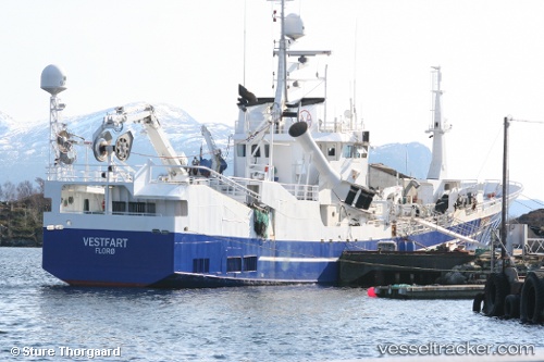
 Karolos
Current Status
Where is the vessel?
Karolos is currently in Near Strusshamn, based on AIS data received less than 1h ago.
Latest AIS update:
Current position: 60.39953° N, 5.18255° E (Near Strusshamn)
Average speed (last 7 days): Loading…
Average speed (last 30 days): Loading…
Vessel profile: Karolos is a Fish Carrier with dimensions 52m x 10m.
This page combines live AIS, route history, probable destination signals, nearby traffic, and port activity for practical vessel monitoring.
The current position of vessel Karolos is 60.39953 lat / 5.18255 lng. Updated: 2026-05-15 04:02:17 UTCNearest reference points:
- Near Skålevik
- Near Hakonsvern
- Near Bergen
Currently sailing under the flag of Norway ![]()
Karolos built in 1977 year
Details:
Live Vessel Karolos Analytics (details, animations, etc.)
Recent AIS points (UTC):
2026-05-14 22:36:16 UTC · 60.39959, 5.18248 · SOG 0 kn · COG 3°2026-05-14 23:59:38 UTC · 60.39954, 5.18248 · SOG 0 kn · COG 3°
2026-05-15 01:15:06 UTC · 60.39955, 5.18250 · SOG 0 kn · COG 3°
2026-05-15 04:02:17 UTC · 60.39953, 5.18255 · SOG 0 kn · COG 3°