 vesseltracker.com
 Richard O
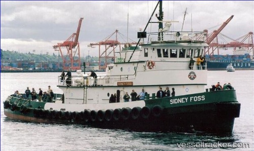
Current Status
Where is the vessel?
Richard O is currently in Near Seal Rock, based on AIS data received less than 1h ago.
Latest AIS update:
Current position: 44.58941° N, 124.26553° W (Near Seal Rock)
Average speed (last 7 days): Loading…
Average speed (last 30 days): Loading…
Vessel profile: Richard O is a Tug with dimensions 38m x 10m.
This page combines live AIS, route history, probable destination signals, nearby traffic, and port activity for practical vessel monitoring.
The current position of vessel Richard O is 44.58941 lat / -124.26553 lng. Updated: 2026-05-13 21:27:34 UTCNearest reference points:
- Near Lincoln City
- 24 nm NE of Coos Bay
- Near Coos Bay
Currently sailing under the flag of USA ![]()
Richard O built in 1976 year
Details:
Live Vessel Richard O Analytics (details, animations, etc.)
Recent AIS points (UTC):
2026-05-13 18:05:26 UTC · 44.84352, -124.17701 · SOG 5.2 kn · COG 197°2026-05-13 19:24:54 UTC · 44.73986, -124.21859 · SOG 4.8 kn · COG 202°
2026-05-13 20:10:25 UTC · 44.68234, -124.24116 · SOG 4.4 kn · COG 191°
2026-05-13 21:27:34 UTC · 44.58941, -124.26553 · SOG 4.5 kn · COG 184°