 vesseltracker.com
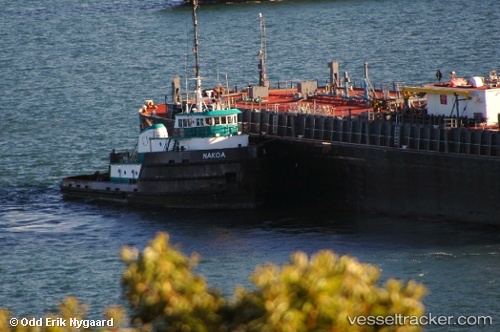
Nakoa
Current StatusWhere is the vessel?
Nakoa is currently in 90 nm NE of Harbour Island, based on AIS data received about 1h ago.
Latest AIS update:
Current position: 26.15167° N, 75.14333° W (90 nm NE of Harbour Island)
Average speed (last 7 days): Loading…
Average speed (last 30 days): Loading…
Vessel profile: Nakoa is a Tug with dimensions 10m x 61m.
This page combines live AIS, route history, probable destination signals, nearby traffic, and port activity for practical vessel monitoring.
The current position of vessel Nakoa is 26.15167 lat / -75.14333 lng. Updated: 2026-05-17 23:31:38 UTCNearest reference points:
- 31 nm E of Harbour Island
- 22 nm E of Harbour Island
- Near Harbour Island
Details:
Live Vessel Nakoa Analytics (details, animations, etc.)
Recent AIS points (UTC):
2026-05-17 20:10:36 UTC · 25.86500, -74.73833 · SOG 8 kn · COG -1°2026-05-17 22:01:34 UTC · 26.02167, -74.96167 · SOG 8 kn · COG -1°
2026-05-17 22:22:36 UTC · 26.05333, -75.00333 · SOG 8 kn · COG -1°
2026-05-17 23:31:38 UTC · 26.15167, -75.14333 · SOG 8 kn · COG -1°