 vesseltracker.com
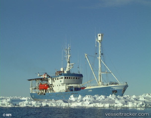
 LANCE
LANCE
Current Status
Where is the vessel?
LANCE is currently in Near Cape Town, based on AIS data received about 2h ago.
Latest AIS update:
Current position: 33.90475° S, 18.44095° E (Near Cape Town)
Average speed (last 7 days): Loading…
Average speed (last 30 days): Loading…
Vessel profile: LANCE is a Research Vessel with dimensions 13m x 61m.
This page combines live AIS, route history, probable destination signals, nearby traffic, and port activity for practical vessel monitoring.
The current position of vessel LANCE is -33.90475 lat / 18.44095 lng. Updated: 2026-05-14 05:44:13 UTCNearest reference points:
- Near Cape Town
- Near Ben Schoeman Dock
- Near Salt River
Currently sailing under the flag of Belize ![]()
LANCE built in 1978 year
Deadweight:
881 tDetails:
Live Vessel LANCE Analytics (details, animations, etc.)
Recent AIS points (UTC):
2026-05-14 01:31:15 UTC · -33.90472, 18.44097 · SOG 0.1 kn · COG 283°2026-05-14 03:42:36 UTC · -33.90473, 18.44097 · SOG 0.1 kn · COG 282°
2026-05-14 04:32:54 UTC · -33.90469, 18.44101 · SOG 0 kn · COG 283°
2026-05-14 05:44:13 UTC · -33.90475, 18.44095 · SOG 0 kn · COG 282°