 vesseltracker.com
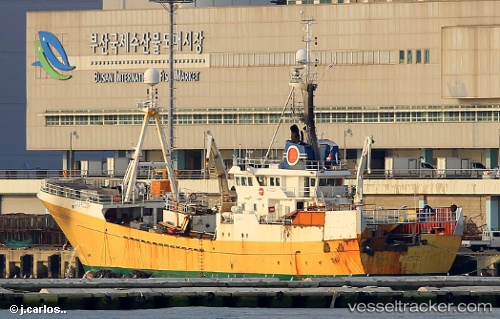
 Olafsson
Current Status
Where is the vessel?
Olafsson is currently in 62 nm S of Vreta Kloster, based on AIS data received less than 1h ago.
Latest AIS update:
Current position: 57.44667° N, 150.70166° E (62 nm S of Vreta Kloster)
Average speed (last 7 days): Loading…
Average speed (last 30 days): Loading…
Vessel profile: Olafsson is a Fish Carrier with dimensions 11m x 71m.
This page combines live AIS, route history, probable destination signals, nearby traffic, and port activity for practical vessel monitoring.
The current position of vessel Olafsson is 57.44667 lat / 150.70166 lng. Updated: 2026-04-27 23:40:01 UTCNearest reference points:
- 74 nm E of Vreta Kloster
- Near Magadan
Currently sailing under the flag of Russia ![]()
Olafsson built in 1978 year
Deadweight:
1552 tDetails:
Live Vessel Olafsson Analytics (details, animations, etc.)
Recent AIS points (UTC):
2026-04-27 20:17:47 UTC · 57.57005, 150.65637 · SOG 11.1 kn · COG 318°2026-04-27 22:11:40 UTC · 57.53220, 150.73898 · SOG 1.8 kn · COG 268°
2026-04-27 22:52:03 UTC · 57.55333, 150.71667 · SOG 5 kn · COG -1°
2026-04-27 23:40:01 UTC · 57.44667, 150.70166 · SOG 2 kn · COG -1°