 vesseltracker.com
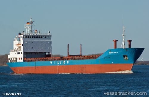
 BLACK SEA
Current Status
Where is the vessel?
BLACK SEA is currently in Near Saraylar, based on AIS data received about 2h ago.
Latest AIS update:
Current position: 40.79008° N, 27.75012° E (Near Saraylar)
Average speed (last 7 days): Loading…
Average speed (last 30 days): Loading…
Vessel profile: BLACK SEA is a General Cargo with dimensions m x m.
This page combines live AIS, route history, probable destination signals, nearby traffic, and port activity for practical vessel monitoring.
The current position of vessel BLACK SEA is 40.79008 lat / 27.75012 lng. Updated: 2026-05-14 16:01:35 UTCNearest reference points:
- Near Saraylar
- Near TEKIRDAG
- Near Marmara Adasi
Currently sailing under the flag of Comoros ![]()
Details:
Live Vessel BLACK SEA Analytics (details, animations, etc.)
Recent AIS points (UTC):
2026-05-14 13:36:03 UTC · 40.83662, 28.11793 · SOG 6.5 kn · COG 258°2026-05-14 13:53:02 UTC · 40.83173, 28.07682 · SOG 6.7 kn · COG 258°
2026-05-14 16:01:35 UTC · 40.79008, 27.75012 · SOG 7.1 kn · COG 260°
2026-05-14 16:01:35 UTC · 40.79008, 27.75012 · SOG 7.1 kn · COG 260°