 vesseltracker.com
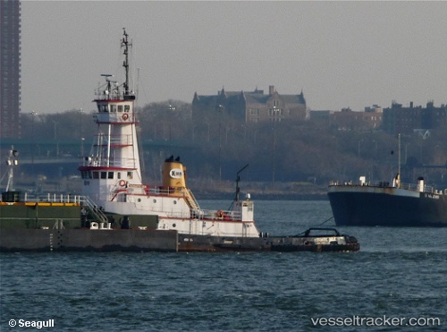
 Marie H
Current Status
Where is the vessel?
Marie H is currently in 135 nm W of Kaguyak, based on AIS data received about 2h ago.
Latest AIS update:
Current position: 56.16817° N, 157.64532° W (135 nm W of Kaguyak)
Average speed (last 7 days): Loading…
Average speed (last 30 days): Loading…
Vessel profile: Marie H is a Tug with dimensions 38m x 10m.
This page combines live AIS, route history, probable destination signals, nearby traffic, and port activity for practical vessel monitoring.
The current position of vessel Marie H is 56.16817 lat / -157.64532 lng. Updated: 2026-05-14 07:49:26 UTCCurrently sailing under the flag of USA ![]()
Marie H built in 1978 year
Details:
Live Vessel Marie H Analytics (details, animations, etc.)
Recent AIS points (UTC):
2026-05-14 04:48:05 UTC · 55.92104, -158.35880 · SOG 9.2 kn · COG 57°2026-05-14 06:24:44 UTC · 56.05646, -157.98615 · SOG 9.1 kn · COG 58°
2026-05-14 07:11:43 UTC · 56.11667, -157.80167 · SOG 9 kn · COG -1°
2026-05-14 07:49:26 UTC · 56.16817, -157.64532 · SOG 9.5 kn · COG 61°