 vesseltracker.com
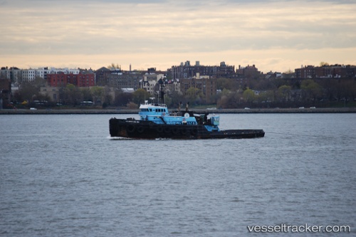
 Atlantic Salvor
Current Status
Where is the vessel?
Atlantic Salvor is currently in Near Tompkinsville, based on AIS data received less than 1h ago.
Latest AIS update:
Current position: 40.63253° N, 74.04918° W (Near Tompkinsville)
Average speed (last 7 days): Loading…
Average speed (last 30 days): Loading…
Vessel profile: Atlantic Salvor is a Tug with dimensions 49m x 13m.
This page combines live AIS, route history, probable destination signals, nearby traffic, and port activity for practical vessel monitoring.
The current position of vessel Atlantic Salvor is 40.63253 lat / -74.04918 lng. Updated: 2026-05-14 11:26:43 UTCNearest reference points:
- Near Tompkinsville
- Near Brooklyn
- Near Maher Terminal
Currently sailing under the flag of USA ![]()
Atlantic Salvor built in 1977 year
Deadweight:
1032 tDetails:
Live Vessel Atlantic Salvor Analytics (details, animations, etc.)
Recent AIS points (UTC):
2026-05-14 08:00:16 UTC · 40.59362, -74.03633 · SOG 8.6 kn · COG 342°2026-05-14 10:23:46 UTC · 40.75088, -74.01708 · SOG 6.3 kn · COG 190°
2026-05-14 10:26:01 UTC · 40.74716, -74.01791 · SOG 6.5 kn · COG 188°
2026-05-14 11:26:43 UTC · 40.63253, -74.04918 · SOG 8 kn · COG 175°