 vesseltracker.com
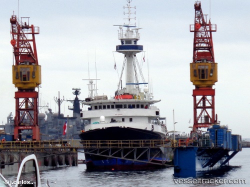
Tx0pituna Dos
Current StatusWhere is the vessel?
Tx0pituna Dos is currently in 227 nm SW of Caleta Tagus, based on AIS data received about 34d ago.
Latest AIS update:
Current position: 1.85008° S, 94.78718° W (227 nm SW of Caleta Tagus)
Average speed (last 7 days): Loading…
Average speed (last 30 days): Loading…
Vessel profile: Tx0pituna Dos is a Fishing Vessel with dimensions 14m x 70m.
This page combines live AIS, route history, probable destination signals, nearby traffic, and port activity for practical vessel monitoring.
The current position of vessel Tx0pituna Dos is -1.85008 lat / -94.78718 lng. Updated: 2026-04-13 20:36:21 UTCNearest reference points:
- Open sea, approx. 403 nm off the nearest listed port
- Open sea, approx. 416 nm off the nearest listed port
- Open sea, approx. 419 nm off the nearest listed port
Details:
Live Vessel Tx0pituna Dos Analytics (details, animations, etc.)
Recent AIS points (UTC):
2026-04-13 20:36:21 UTC · -1.85008, -94.78718 · SOG 11.1 kn · COG 287°