 vesseltracker.com
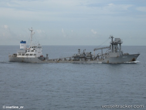
Mv Armalia
Current StatusWhere is the vessel?
Mv Armalia is currently in Near BANJARMASIN, based on AIS data received less than 1h ago.
Latest AIS update:
Current position: 3.31424° S, 114.56383° E (Near BANJARMASIN)
Average speed (last 7 days): Loading…
Average speed (last 30 days): Loading…
Vessel profile: Mv Armalia is a Cement Carrier with dimensions 13m x 78m.
This page combines live AIS, route history, probable destination signals, nearby traffic, and port activity for practical vessel monitoring.
The current position of vessel Mv Armalia is -3.31424 lat / 114.56383 lng. Updated: 2026-05-14 01:07:12 UTCNearest reference points:
- Near BANJARMASIN
- Near Taboneo
- Near Bunati
Details:
Live Vessel Mv Armalia Analytics (details, animations, etc.)
Recent AIS points (UTC):
2026-05-13 22:01:12 UTC · -3.31422, 114.56381 · SOG 0.1 kn · COG -1°2026-05-13 22:13:12 UTC · -3.31425, 114.56386 · SOG 0 kn · COG -1°
2026-05-13 23:43:12 UTC · -3.31424, 114.56387 · SOG 0 kn · COG -1°
2026-05-14 01:07:12 UTC · -3.31424, 114.56383 · SOG 0.2 kn · COG -1°