 vesseltracker.com
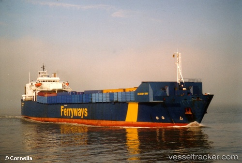
 Bostan N
Current Status
Where is the vessel?
Bostan N is currently in Near Besiktas, based on AIS data received about 34d ago.
Latest AIS update:
Current position: 41.04581° N, 29.03333° E (Near Besiktas)
Average speed (last 7 days): Loading…
Average speed (last 30 days): Loading…
Vessel profile: Bostan N is a Ro Ro Cargo Ship with dimensions 136m x 18m.
This page combines live AIS, route history, probable destination signals, nearby traffic, and port activity for practical vessel monitoring.
The current position of vessel Bostan N is 41.04581 lat / 29.03333 lng. Updated: 2026-03-19 19:11:36 UTCNearest reference points:
- Near Beylerbeyi
- Near Kabatas
- Near Arnavutköy/Istambul
Currently sailing under the flag of Turkey ![]()
Bostan N built in 1980 year
Deadweight:
4538 tDetails:
Live Vessel Bostan N Analytics (details, animations, etc.)
Recent AIS points (UTC):
2026-03-19 19:11:36 UTC · 41.04581, 29.03333 · SOG 4.6 kn · COG 48°