 vesseltracker.com
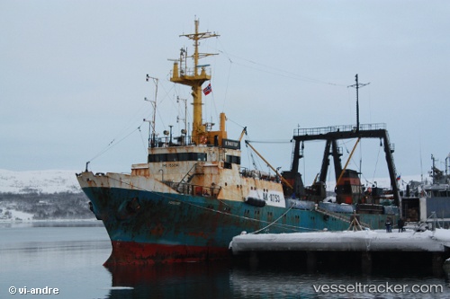
 Brest
Brest
Current Status
Where is the vessel?
Brest is currently in 23 nm E of Vardo, based on AIS data received less than 1h ago.
Latest AIS update:
Current position: 70.39276° N, 32.25412° E (23 nm E of Vardo)
Average speed (last 7 days): Loading…
Average speed (last 30 days): Loading…
Vessel profile: Brest is a Fishing Vessel with dimensions 70m x 13m.
This page combines live AIS, route history, probable destination signals, nearby traffic, and port activity for practical vessel monitoring.
The current position of vessel Brest is 70.39276 lat / 32.25412 lng. Updated: 2026-05-14 13:53:56 UTCNearest reference points:
- Near Ozerko
- Near Ura-Guba
- 12 nm NE of Ura-Guba
Currently sailing under the flag of Russia ![]()
Brest built in 1980 year
Deadweight:
901 tDetails:
Live Vessel Brest Analytics (details, animations, etc.)
Recent AIS points (UTC):
2026-05-14 10:05:01 UTC · 70.23841, 32.37935 · SOG 5.8 kn · COG 0°2026-05-14 12:14:30 UTC · 70.34305, 32.23115 · SOG 6.8 kn · COG 268°
2026-05-14 13:33:10 UTC · 70.38214, 32.21708 · SOG 3.4 kn · COG 35°
2026-05-14 13:53:56 UTC · 70.39276, 32.25412 · SOG 4.2 kn · COG 19°