 vesseltracker.com
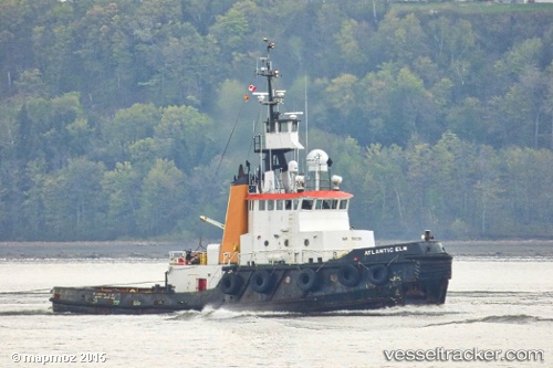
Atlantic Elm
Current StatusWhere is the vessel?
Atlantic Elm is currently in Near Halifax, based on AIS data received less than 1h ago.
Latest AIS update:
Current position: 44.64667° N, 63.54833° W (Near Halifax)
Average speed (last 7 days): Loading…
Average speed (last 30 days): Loading…
Vessel profile: Atlantic Elm is a Tug with dimensions 10m x 32m.
This page combines live AIS, route history, probable destination signals, nearby traffic, and port activity for practical vessel monitoring.
The current position of vessel Atlantic Elm is 44.64667 lat / -63.54833 lng. Updated: 2026-05-14 04:17:51 UTCNearest reference points:
- Near Halifax
- Near Eastern Passage
- 20 nm S of Head of Jeddore
Details:
Live Vessel Atlantic Elm Analytics (details, animations, etc.)
Recent AIS points (UTC):
2026-05-14 01:11:10 UTC · 44.64796, -63.54969 · SOG 0 kn · COG 309°2026-05-14 01:26:16 UTC · 44.64793, -63.54970 · SOG 0 kn · COG 309°
2026-05-14 03:26:10 UTC · 44.64789, -63.54972 · SOG 0 kn · COG 309°
2026-05-14 04:17:51 UTC · 44.64667, -63.54833 · SOG 0 kn · COG -1°