 vesseltracker.com
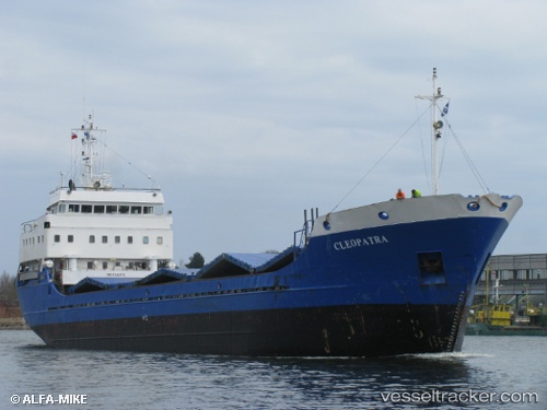
 Renata
Current Status
Where is the vessel?
Renata is currently in Near Iraklion, based on AIS data received less than 1h ago.
Latest AIS update:
Current position: 35.34787° N, 25.15273° E (Near Iraklion)
Average speed (last 7 days): Loading…
Average speed (last 30 days): Loading…
Vessel profile: Renata is a General Cargo Ship with dimensions 83m x 12m.
This page combines live AIS, route history, probable destination signals, nearby traffic, and port activity for practical vessel monitoring.
The current position of vessel Renata is 35.34787 lat / 25.15273 lng. Updated: 2026-05-14 21:35:47 UTCNearest reference points:
- Near Iraklion
- Near Kali Limenes
- 20 nm S of Astypálaia
Currently sailing under the flag of Greece ![]()
Renata built in 1982 year
Deadweight:
2954 tDetails:
Live Vessel Renata Analytics (details, animations, etc.)
Recent AIS points (UTC):
2026-05-14 18:20:48 UTC · 35.34783, 25.15273 · SOG 0 kn · COG 345°2026-05-14 19:38:48 UTC · 35.34783, 25.15270 · SOG 0 kn · COG 345°
2026-05-14 19:47:49 UTC · 35.34785, 25.15272 · SOG 0 kn · COG 345°
2026-05-14 21:35:47 UTC · 35.34787, 25.15273 · SOG 0 kn · COG 345°