 vesseltracker.com
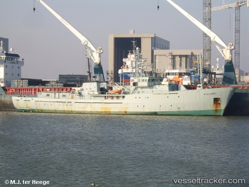
 JOHN PAUL DE JORIA
Current Status
Where is the vessel?
JOHN PAUL DE JORIA is currently in Near Le Verdon, based on AIS data received less than 1h ago.
Latest AIS update:
Current position: 45.53686° N, 1.03920° W (Near Le Verdon)
Average speed (last 7 days): Loading…
Average speed (last 30 days): Loading…
Vessel profile: JOHN PAUL DE JORIA is a Spare - Local Vessel with dimensions m x m.
This page combines live AIS, route history, probable destination signals, nearby traffic, and port activity for practical vessel monitoring.
The current position of vessel JOHN PAUL DE JORIA is 45.53686 lat / -1.03920 lng. Updated: 2026-05-14 11:31:58 UTCNearest reference points:
- Near LE VERDON-SUR-MER
- Near Royan
- Near Saint-Pierre-d'Oléron
Currently sailing under the flag of Saint Kitts and Nevis ![]()
Details:
Live Vessel JOHN PAUL DE JORIA Analytics (details, animations, etc.)
Recent AIS points (UTC):
2026-05-14 07:20:18 UTC · 45.53667, -1.03833 · SOG 0 kn · COG -1°2026-05-14 09:40:56 UTC · 45.53686, -1.03921 · SOG 0 kn · COG 345°
2026-05-14 10:35:15 UTC · 45.53667, -1.03833 · SOG 0 kn · COG -1°
2026-05-14 11:31:58 UTC · 45.53686, -1.03920 · SOG 0 kn · COG 342°