 vesseltracker.com
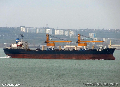
 AFINA
AFINA
Current Status
Where is the vessel?
AFINA is currently in Near Port de Boké, based on AIS data received about 1h ago.
Latest AIS update:
Current position: 10.42550° N, 14.83220° W (Near Port de Boké)
Average speed (last 7 days): Loading…
Average speed (last 30 days): Loading…
Vessel profile: AFINA is a Bulk Carrier with dimensions 0m x 0m.
This page combines live AIS, route history, probable destination signals, nearby traffic, and port activity for practical vessel monitoring.
The current position of vessel AFINA is 10.42550 lat / -14.83220 lng. Updated: 2026-05-16 07:39:41 UTCNearest reference points:
- Near Port de Boké
- 14 nm S of Port de Boké
- Near Dougoula
Currently sailing under the flag of Liberia ![]()
AFINA built in 1983 year
Deadweight:
35419 tDetails:
Live Vessel AFINA Analytics (details, animations, etc.)
Recent AIS points (UTC):
2026-05-16 05:06:56 UTC · 10.42558, -14.83235 · SOG 0.1 kn · COG 206°2026-05-16 05:48:52 UTC · 10.42560, -14.83239 · SOG 0.1 kn · COG 206°
2026-05-16 07:15:46 UTC · 10.42549, -14.83225 · SOG 0.1 kn · COG 211°
2026-05-16 07:39:41 UTC · 10.42550, -14.83220 · SOG 0.1 kn · COG 208°