 vesseltracker.com
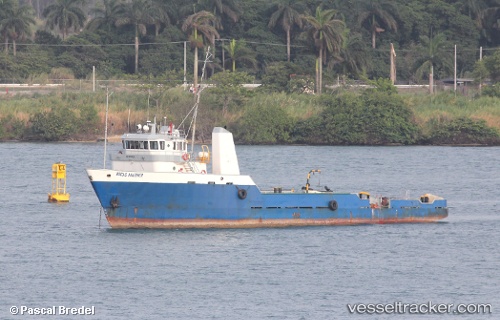
Bocas Mariner
Current StatusWhere is the vessel?
Bocas Mariner is currently in Near Colón Free Zone, based on AIS data received about 954d ago.
Latest AIS update:
Current position: 9.35328° N, 79.90479° W (Near Colón Free Zone)
Average speed (last 7 days): Loading…
Average speed (last 30 days): Loading…
Vessel profile: Bocas Mariner is a Offshore Tug Supply Ship with dimensions 13m x 93m.
This page combines live AIS, route history, probable destination signals, nearby traffic, and port activity for practical vessel monitoring.
The current position of vessel Bocas Mariner is 9.35328 lat / -79.90479 lng. Updated: 2023-10-03 16:57:58 UTCNearest reference points:
- Near Colón Free Zone
- Near COLON 2000
- Near Colon
Details:
Live Vessel Bocas Mariner Analytics (details, animations, etc.)
Recent AIS points (UTC):
2023-10-03 16:57:58 UTC · 9.35328, -79.90479 · SOG 0.3 kn · COG -1°