 vesseltracker.com
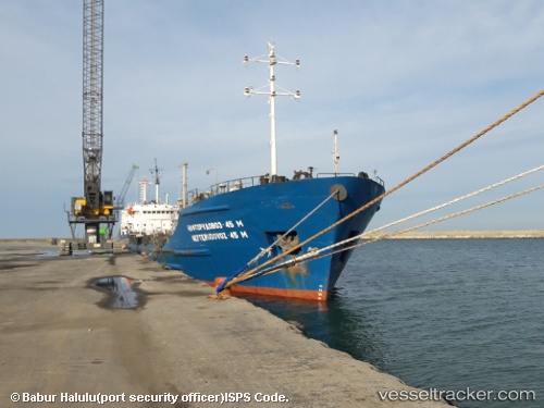
 KHORYV
Current Status
Where is the vessel?
KHORYV is currently in 12 nm E of Petries Evvoias, based on AIS data received less than 1h ago.
Latest AIS update:
Current position: 38.46687° N, 24.41845° E (12 nm E of Petries Evvoias)
Average speed (last 7 days): Loading…
Average speed (last 30 days): Loading…
Vessel profile: KHORYV is a Ore/Oil Carrier with dimensions m x m.
This page combines live AIS, route history, probable destination signals, nearby traffic, and port activity for practical vessel monitoring.
The current position of vessel KHORYV is 38.46687 lat / 24.41845 lng. Updated: 2026-04-25 13:01:42 UTCNearest reference points:
- Near MILAKI
- Near Agia Marina Grammatikou Attikis
- 16 nm E of Skíros
Currently sailing under the flag of Comoros ![]()
Details:
Live Vessel KHORYV Analytics (details, animations, etc.)
Recent AIS points (UTC):
2026-04-25 10:04:45 UTC · 38.70748, 24.14727 · SOG 6.5 kn · COG 128°2026-04-25 10:10:34 UTC · 38.70063, 24.15758 · SOG 6.6 kn · COG 127°
2026-04-25 12:28:01 UTC · 38.51588, 24.37790 · SOG 6.8 kn · COG 139°
2026-04-25 13:01:42 UTC · 38.46687, 24.41845 · SOG 5.9 kn · COG 145°