 vesseltracker.com
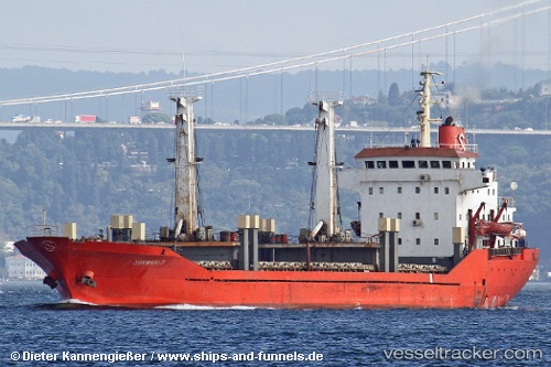
 BON
BON
Current Status
Where is the vessel?
BON is currently in 92 nm SE of Marina di Monasterace, based on AIS data received less than 1h ago.
Latest AIS update:
Current position: 37.37170° N, 17.97423° E (92 nm SE of Marina di Monasterace)
Average speed (last 7 days): Loading…
Average speed (last 30 days): Loading…
Vessel profile: BON is a General Cargo with dimensions m x m.
This page combines live AIS, route history, probable destination signals, nearby traffic, and port activity for practical vessel monitoring.
The current position of vessel BON is 37.37170 lat / 17.97423 lng. Updated: 2026-05-15 06:20:01 UTCNearest reference points:
- 103 nm NE of Ryuo
- 64 nm NE of Ryuo
- 53 nm NE of Ryuo
Currently sailing under the flag of Saint Kitts and Nevis ![]()
Details:
Live Vessel BON Analytics (details, animations, etc.)
Recent AIS points (UTC):
2026-05-15 01:17:28 UTC · 37.61372, 17.00765 · SOG 9.4 kn · COG 108°2026-05-15 04:01:03 UTC · 37.48453, 17.53393 · SOG 9.2 kn · COG 113°
2026-05-15 04:39:31 UTC · 37.45350, 17.65332 · SOG 9.4 kn · COG 113°
2026-05-15 06:20:01 UTC · 37.37170, 17.97423 · SOG 10 kn · COG 113°