 vesseltracker.com
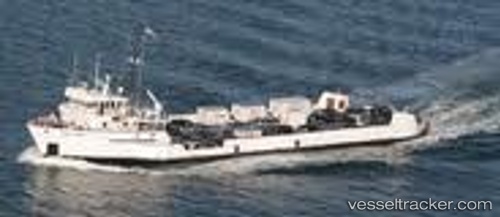
 TUCKERNUCK
Current Status
Where is the vessel?
TUCKERNUCK is currently in Near Port Au Prince, based on AIS data received about 1h ago.
Latest AIS update:
Current position: 18.55376° N, 72.35119° W (Near Port Au Prince)
Average speed (last 7 days): Loading…
Average speed (last 30 days): Loading…
Vessel profile: TUCKERNUCK is a Multi Purpose Offshore Vessel with dimensions m x m.
This page combines live AIS, route history, probable destination signals, nearby traffic, and port activity for practical vessel monitoring.
The current position of vessel TUCKERNUCK is 18.55376 lat / -72.35119 lng. Updated: 2026-05-13 17:59:46 UTCNearest reference points:
- Near Bahia De Las Calderas
- Near Puerto Plata
- 56 nm SW of Cockburn Harbour
Currently sailing under the flag of United States ![]()
Details:
Live Vessel TUCKERNUCK Analytics (details, animations, etc.)
Recent AIS points (UTC):
2026-05-13 13:23:35 UTC · 18.55378, -72.35123 · SOG 0 kn · COG 203°2026-05-13 16:05:35 UTC · 18.55378, -72.35120 · SOG 0 kn · COG 200°
2026-05-13 16:16:44 UTC · 18.55377, -72.35122 · SOG 0 kn · COG 200°
2026-05-13 17:59:46 UTC · 18.55376, -72.35119 · SOG 0 kn · COG 197°