 vesseltracker.com
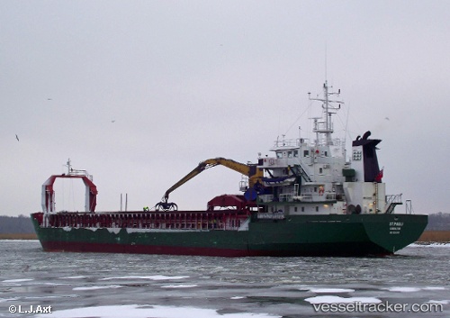
 AB HEIDI
Current Status
Where is the vessel?
AB HEIDI is currently in 19 nm W of Mudanya, based on AIS data received less than 1h ago.
Latest AIS update:
Current position: 40.44687° N, 28.48143° E (19 nm W of Mudanya)
Average speed (last 7 days): Loading…
Average speed (last 30 days): Loading…
Vessel profile: AB HEIDI is a General Cargo with dimensions m x m.
This page combines live AIS, route history, probable destination signals, nearby traffic, and port activity for practical vessel monitoring.
The current position of vessel AB HEIDI is 40.44687 lat / 28.48143 lng. Updated: 2026-05-14 07:22:07 UTCNearest reference points:
- Near Mudanya
- 16 nm S of Kumport
- 17 nm S of Kumport
Currently sailing under the flag of Sierra Leone ![]()
Details:
Live Vessel AB HEIDI Analytics (details, animations, etc.)
Recent AIS points (UTC):
2026-05-14 05:04:27 UTC · 40.52260, 28.08197 · SOG 8.1 kn · COG 107°2026-05-14 05:52:46 UTC · 40.48622, 28.21906 · SOG 8 kn · COG 102°
2026-05-14 07:22:07 UTC · 40.44687, 28.48143 · SOG 8.3 kn · COG 88°
2026-05-14 07:22:07 UTC · 40.44687, 28.48143 · SOG 8.3 kn · COG 88°