 vesseltracker.com
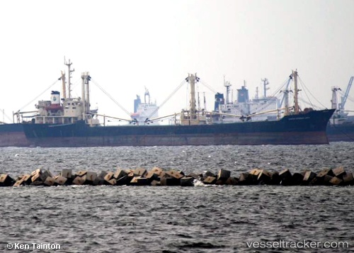
Mv Cakra Kembar Satu
Current StatusWhere is the vessel?
Mv Cakra Kembar Satu is currently in Near SAMARINDA, based on AIS data received about 21h ago.
Latest AIS update:
Current position: 0.58820° S, 117.06533° E (Near SAMARINDA)
Average speed (last 7 days): Loading…
Average speed (last 30 days): Loading…
Vessel profile: Mv Cakra Kembar Satu is a General Cargo Ship with dimensions 16m x 116m.
This page combines live AIS, route history, probable destination signals, nearby traffic, and port activity for practical vessel monitoring.
The current position of vessel Mv Cakra Kembar Satu is -0.58820 lat / 117.06533 lng. Updated: 2026-05-14 04:48:11 UTCNearest reference points:
- Near SAMARINDA
- 11 nm E of SAMARINDA
- Near Handil
Details:
Live Vessel Mv Cakra Kembar Satu Analytics (details, animations, etc.)
Recent AIS points (UTC):
2026-05-14 04:48:11 UTC · -0.58820, 117.06533 · SOG 29.3 kn · COG -1°2026-05-14 04:48:11 UTC · -0.58820, 117.06533 · SOG 29.3 kn · COG -1°
2026-05-14 04:48:11 UTC · -0.58820, 117.06533 · SOG 29.3 kn · COG -1°
2026-05-14 04:48:11 UTC · -0.58820, 117.06533 · SOG 29.3 kn · COG -1°
2026-05-14 04:48:11 UTC · -0.58820, 117.06533 · SOG 29.3 kn · COG -1°
2026-05-14 04:48:11 UTC · -0.58820, 117.06533 · SOG 29.3 kn · COG -1°