 vesseltracker.com
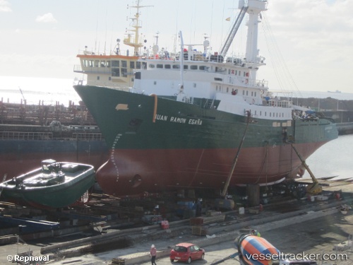
Pont Saint Louis
Current StatusWhere is the vessel?
Pont Saint Louis is currently in Near Dakar, based on AIS data received less than 1h ago.
Latest AIS update:
Current position: 14.68359° N, 17.42954° W (Near Dakar)
Average speed (last 7 days): Loading…
Average speed (last 30 days): Loading…
Vessel profile: Pont Saint Louis is a Fishing Vessel with dimensions 14m x 77m.
This page combines live AIS, route history, probable destination signals, nearby traffic, and port activity for practical vessel monitoring.
The current position of vessel Pont Saint Louis is 14.68359 lat / -17.42954 lng. Updated: 2026-05-14 18:03:33 UTCNearest reference points:
- Near Dakar
- Near Rufisque
- Near Banjul
Details:
Live Vessel Pont Saint Louis Analytics (details, animations, etc.)
Recent AIS points (UTC):
2026-05-14 14:04:34 UTC · 14.68333, -17.42833 · SOG 0 kn · COG -1°2026-05-14 15:38:54 UTC · 14.68358, -17.42954 · SOG 0 kn · COG 335°
2026-05-14 16:22:31 UTC · 14.68333, -17.42833 · SOG 0 kn · COG -1°
2026-05-14 18:03:33 UTC · 14.68359, -17.42954 · SOG 0 kn · COG 336°