 vesseltracker.com
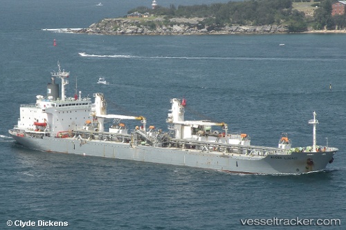
Luga
Current StatusWhere is the vessel?
Luga is currently in 14 nm E of Boyne Island, based on AIS data received less than 1h ago.
Latest AIS update:
Current position: 23.88256° S, 151.58980° E (14 nm E of Boyne Island)
Average speed (last 7 days): Loading…
Average speed (last 30 days): Loading…
Vessel profile: Luga is a Cement Carrier with dimensions 28m x 170m.
This page combines live AIS, route history, probable destination signals, nearby traffic, and port activity for practical vessel monitoring.
The current position of vessel Luga is -23.88256 lat / 151.58980 lng. Updated: 2026-05-14 06:17:01 UTCNearest reference points:
- Near Boyne Island
- Near Gladstone Harbor
- Near ROSSLYN
Details:
Live Vessel Luga Analytics (details, animations, etc.)
Recent AIS points (UTC):
2026-05-14 01:53:26 UTC · -23.93776, 152.14279 · SOG 12.4 kn · COG 272°2026-05-14 04:08:37 UTC · -23.87982, 151.64680 · SOG 9.6 kn · COG 275°
2026-05-14 04:24:48 UTC · -23.87482, 151.60339 · SOG 8 kn · COG 269°
2026-05-14 06:17:01 UTC · -23.88256, 151.58980 · SOG 0.1 kn · COG 108°