 vesseltracker.com
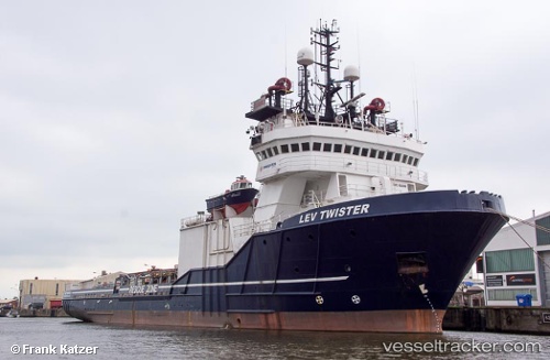
 OCEAN KING
Current Status
Where is the vessel?
OCEAN KING is currently in 137 nm S of Selat Lombok, based on AIS data received less than 1h ago.
Latest AIS update:
Current position: 11.08167° S, 115.31833° E (137 nm S of Selat Lombok)
Average speed (last 7 days): Loading…
Average speed (last 30 days): Loading…
Vessel profile: OCEAN KING is a Anchor Handling Vessel with dimensions m x m.
This page combines live AIS, route history, probable destination signals, nearby traffic, and port activity for practical vessel monitoring.
The current position of vessel OCEAN KING is -11.08167 lat / 115.31833 lng. Updated: 2026-05-13 22:06:48 UTCNearest reference points:
- Near BENOA
- 86 nm SE of BENETE
- Near LEMBAR
Currently sailing under the flag of Norway ![]()
Details:
Live Vessel OCEAN KING Analytics (details, animations, etc.)
Recent AIS points (UTC):
2026-05-13 19:18:47 UTC · -11.65333, 115.20833 · SOG 12 kn · COG -1°2026-05-13 20:00:39 UTC · -11.51527, 115.23846 · SOG 12.3 kn · COG 18°
2026-05-13 22:03:49 UTC · -11.09167, 115.31667 · SOG 12 kn · COG -1°
2026-05-13 22:06:48 UTC · -11.08167, 115.31833 · SOG 12 kn · COG -1°