 vesseltracker.com
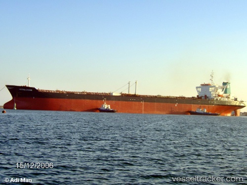
Armada Perdana
Current StatusWhere is the vessel?
Armada Perdana is currently in Near Oyo, based on AIS data received less than 1h ago.
Latest AIS update:
Current position: 5.38793° N, 4.59143° E (Near Oyo)
Average speed (last 7 days): Loading…
Average speed (last 30 days): Loading…
Vessel profile: Armada Perdana is a Offshore Support Vessel with dimensions 46m x 290m.
This page combines live AIS, route history, probable destination signals, nearby traffic, and port activity for practical vessel monitoring.
The current position of vessel Armada Perdana is 5.38793 lat / 4.59143 lng. Updated: 2026-04-30 23:59:19 UTCNearest reference points:
- Near Escravos
- Near WARRI
- Near Apapa
Details:
Live Vessel Armada Perdana Analytics (details, animations, etc.)
Recent AIS points (UTC):
2026-04-30 19:59:49 UTC · 5.38794, 4.59143 · SOG 0.1 kn · COG -1°2026-04-30 21:58:58 UTC · 5.38795, 4.59140 · SOG 0.2 kn · COG -1°
2026-04-30 22:56:58 UTC · 5.38796, 4.59139 · SOG 0.1 kn · COG -1°
2026-04-30 23:59:19 UTC · 5.38793, 4.59143 · SOG 0.1 kn · COG -1°