 vesseltracker.com
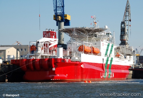
 Safe Swift
Current Status
Where is the vessel?
Safe Swift is currently in 95 nm NE of Enmore, based on AIS data received about 1h ago.
Latest AIS update:
Current position: 8.01117° N, 56.99300° W (95 nm NE of Enmore)
Average speed (last 7 days): Loading…
Average speed (last 30 days): Loading…
Vessel profile: Safe Swift is a Offshore Support Vessel with dimensions 150m x 24m.
This page combines live AIS, route history, probable destination signals, nearby traffic, and port activity for practical vessel monitoring.
The current position of vessel Safe Swift is 8.01117 lat / -56.99300 lng. Updated: 2026-04-28 06:34:07 UTCNearest reference points:
- 57 nm NE of Adventure
- 38 nm NW of Jarikaba
- Near Paramaribo Zorg en Hoop Airport
Currently sailing under the flag of Bahamas ![]()
Safe Swift built in 1985 year
Deadweight:
9373 tDetails:
Live Vessel Safe Swift Analytics (details, animations, etc.)
Recent AIS points (UTC):
2026-04-28 03:04:04 UTC · 8.01117, -56.99300 · SOG 1 kn · COG 84°2026-04-28 04:13:16 UTC · 8.01117, -56.99283 · SOG 0.7 kn · COG 84°
2026-04-28 04:31:48 UTC · 8.01117, -56.99300 · SOG 0.4 kn · COG 84°
2026-04-28 06:34:07 UTC · 8.01117, -56.99300 · SOG 0.5 kn · COG 84°