 vesseltracker.com
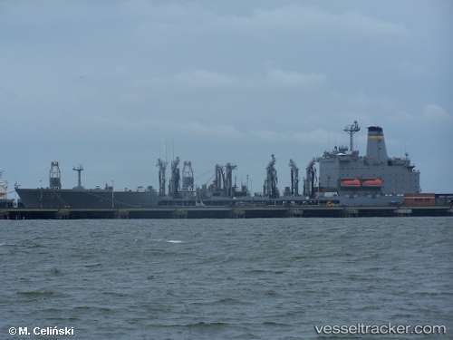
 John Lenthall
Current Status
Where is the vessel?
John Lenthall is currently in Near Souda Bay, based on AIS data received about 15h ago.
Latest AIS update:
Current position: 35.47939° N, 24.16004° E (Near Souda Bay)
Average speed (last 7 days): Loading…
Average speed (last 30 days): Loading…
Vessel profile: John Lenthall is a Naval Naval Auxiliary with dimensions 206m x 30m.
This page combines live AIS, route history, probable destination signals, nearby traffic, and port activity for practical vessel monitoring.
The current position of vessel John Lenthall is 35.47939 lat / 24.16004 lng. Updated: 2026-05-01 06:54:21 UTCNearest reference points:
- Near Kali Limenes
- Near Iraklion
- 17 nm W of Milos (Adamas)
Currently sailing under the flag of USA ![]()
John Lenthall built in 1987 year
Deadweight:
28407 tDetails:
Live Vessel John Lenthall Analytics (details, animations, etc.)
Recent AIS points (UTC):
2026-05-01 06:54:21 UTC · 35.47939, 24.16004 · SOG 9.1 kn · COG 76°2026-05-01 06:54:21 UTC · 35.47939, 24.16004 · SOG 9.1 kn · COG 76°
2026-05-01 06:54:21 UTC · 35.47939, 24.16004 · SOG 9.1 kn · COG 76°
2026-05-01 06:54:21 UTC · 35.47939, 24.16004 · SOG 9.1 kn · COG 76°