 vesseltracker.com
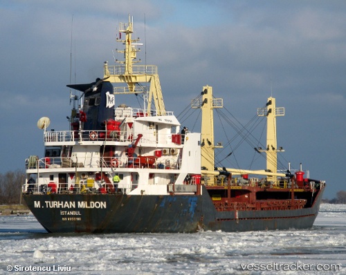
 INANDI
Current Status
Where is the vessel?
INANDI is currently in Near Drapetzona, based on AIS data received less than 1h ago.
Latest AIS update:
Current position: 37.95768° N, 23.60980° E (Near Drapetzona)
Average speed (last 7 days): Loading…
Average speed (last 30 days): Loading…
Vessel profile: INANDI is a General Cargo Ship with dimensions 83m x 14m.
This page combines live AIS, route history, probable destination signals, nearby traffic, and port activity for practical vessel monitoring.
The current position of vessel INANDI is 37.95768 lat / 23.60980 lng. Updated: 2026-05-01 17:37:41 UTCNearest reference points:
- Near Keratsínion
- Near Drapetzona
- Near Piraeus
Currently sailing under the flag of Panama ![]()
INANDI built in 1984 year
Deadweight:
3465 tDetails:
Live Vessel INANDI Analytics (details, animations, etc.)
Recent AIS points (UTC):
2026-05-01 13:40:37 UTC · 37.95768, 23.60980 · SOG 0 kn · COG 117°2026-05-01 16:04:24 UTC · 37.95767, 23.60982 · SOG 0 kn · COG 116°
2026-05-01 16:49:24 UTC · 37.95768, 23.60978 · SOG 0 kn · COG 116°
2026-05-01 17:37:41 UTC · 37.95768, 23.60980 · SOG 0 kn · COG 116°