 vesseltracker.com
 GRACE A
Current Status
Where is the vessel?
GRACE A is currently in 30 nm N of Landunvez, based on AIS data received about 2h ago.
Latest AIS update:
Current position: 49.01562° N, 4.92875° W (30 nm N of Landunvez)
Average speed (last 7 days): Loading…
Average speed (last 30 days): Loading…
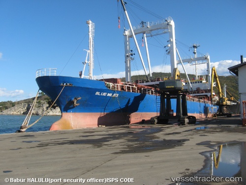
Vessel profile: GRACE A is a General Cargo Ship with dimensions 15m x 89m.
This page combines live AIS, route history, probable destination signals, nearby traffic, and port activity for practical vessel monitoring.
The current position of vessel GRACE A is 49.01562 lat / -4.92875 lng. Updated: 2026-05-13 19:39:16 UTCNearest reference points:
- 28 nm N of Landunvez
- 34 nm W of Verzy
- 18 nm NE of Ile D’Ouessant
Currently sailing under the flag of Cameroon ![]()
GRACE A built in 1984 year
Deadweight:
4755 tDetails:
Live Vessel GRACE A Analytics (details, animations, etc.)
Recent AIS points (UTC):
2026-05-13 16:27:36 UTC · 48.75714, -5.58355 · SOG 9.7 kn · COG 47°2026-05-13 18:10:05 UTC · 48.89660, -5.22778 · SOG 9.4 kn · COG 52°
2026-05-13 19:07:36 UTC · 48.97289, -5.03326 · SOG 9.1 kn · COG 53°
2026-05-13 19:39:16 UTC · 49.01562, -4.92875 · SOG 9.3 kn · COG 53°