 vesseltracker.com
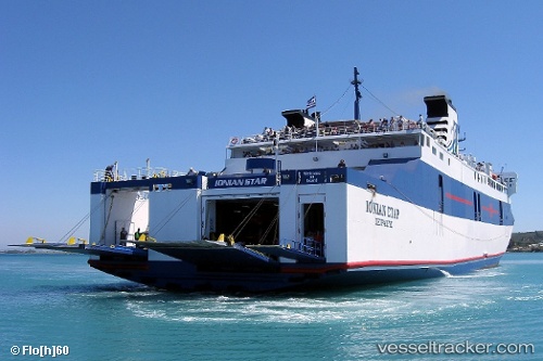
 Mare Di Levante
Current Status
Where is the vessel?
Mare Di Levante is currently in Near ZAKYNTHOS, based on AIS data received less than 1h ago.
Latest AIS update:
Current position: 37.78077° N, 20.90172° E (Near ZAKYNTHOS)
Average speed (last 7 days): Loading…
Average speed (last 30 days): Loading…
Vessel profile: Mare Di Levante is a Passenger Ro Ro Cargo Ship with dimensions 120m x 21m.
This page combines live AIS, route history, probable destination signals, nearby traffic, and port activity for practical vessel monitoring.
The current position of vessel Mare Di Levante is 37.78077 lat / 20.90172 lng. Updated: 2026-05-17 12:16:26 UTCNearest reference points:
- Near MESSOLOGGI
- Near Káto Achaïa
- Near Meganísi
Currently sailing under the flag of Greece ![]()
Mare Di Levante built in 1984 year
Deadweight:
2485 tDetails:
Live Vessel Mare Di Levante Analytics (details, animations, etc.)
Recent AIS points (UTC):
2026-05-17 07:44:58 UTC · 38.14895, 20.78237 · SOG 0 kn · COG 43°2026-05-17 09:26:15 UTC · 37.94637, 21.15523 · SOG 15.2 kn · COG -1°
2026-05-17 10:13:33 UTC · 37.95261, 21.14530 · SOG 13.6 kn · COG -1°
2026-05-17 12:16:26 UTC · 37.78077, 20.90172 · SOG 0.1 kn · COG -1°