 vesseltracker.com
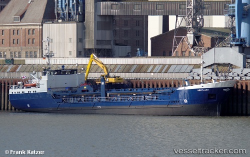
Vestland
Current StatusWhere is the vessel?
Vestland is currently in 73 nm N of Thistle Field, based on AIS data received less than 1h ago.
Latest AIS update:
Current position: 62.68344° N, 1.09175° E (73 nm N of Thistle Field)
Average speed (last 7 days): Loading…
Average speed (last 30 days): Loading…
Vessel profile: Vestland is a Multi Purpose Carrier with dimensions 13m x 69m.
This page combines live AIS, route history, probable destination signals, nearby traffic, and port activity for practical vessel monitoring.
The current position of vessel Vestland is 62.68344 lat / 1.09175 lng. Updated: 2026-05-16 18:07:34 UTCDetails:
Live Vessel Vestland Analytics (details, animations, etc.)
Recent AIS points (UTC):
2026-05-16 12:32:59 UTC · 62.52333, -0.76167 · SOG 9 kn · COG -1°2026-05-16 15:24:34 UTC · 62.60760, 0.18555 · SOG 9.1 kn · COG 79°
2026-05-16 17:04:55 UTC · 62.65432, 0.74524 · SOG 9.2 kn · COG 79°
2026-05-16 18:07:34 UTC · 62.68344, 1.09175 · SOG 9.4 kn · COG 78°