 vesseltracker.com
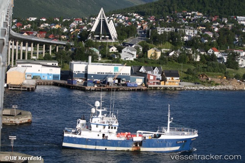
 Stattegg
Current Status
Where is the vessel?
Stattegg is currently in Near MALOY, based on AIS data received about 1h ago.
Latest AIS update:
Current position: 61.92974° N, 5.11578° E (Near MALOY)
Average speed (last 7 days): Loading…
Average speed (last 30 days): Loading…
Vessel profile: Stattegg is a Fishing Vessel with dimensions 39m x 8m.
This page combines live AIS, route history, probable destination signals, nearby traffic, and port activity for practical vessel monitoring.
The current position of vessel Stattegg is 61.92974 lat / 5.11578 lng. Updated: 2026-05-15 19:55:06 UTCNearest reference points:
- Near MALOY
- Near RAUDEBERG
- Near Gursken
Currently sailing under the flag of Norway ![]()
Details:
Live Vessel Stattegg Analytics (details, animations, etc.)
Recent AIS points (UTC):
2026-05-15 16:41:44 UTC · 61.92977, 5.11583 · SOG 0 kn · COG 59°2026-05-15 17:50:56 UTC · 61.92970, 5.11588 · SOG 0 kn · COG 59°
2026-05-15 19:11:35 UTC · 61.92978, 5.11583 · SOG 0 kn · COG 60°
2026-05-15 19:55:06 UTC · 61.92974, 5.11578 · SOG 0 kn · COG 60°