 vesseltracker.com
 RINA
RINA
Current Status
Where is the vessel?
RINA is currently in Near HUDAIDAH, based on AIS data received about 829d ago.
Latest AIS update:
Current position: 14.84102° N, 42.93614° E (Near HUDAIDAH)
Average speed (last 7 days): Loading…
Average speed (last 30 days): Loading…
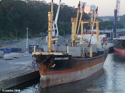
Vessel profile: RINA is a General Cargo Ship with dimensions 27m x 6m.
This page combines live AIS, route history, probable destination signals, nearby traffic, and port activity for practical vessel monitoring.
The current position of vessel RINA is 14.84102 lat / 42.93614 lng. Updated: 2024-02-06 05:17:30 UTCNearest reference points:
- 81 nm NW of As Salif
- Near Jazan Economic City
- 92 nm SW of Al Qahmah
Currently sailing under the flag of Togo ![]()
RINA built in 1986 year
Deadweight:
6587 tDetails:
Live Vessel RINA Analytics (details, animations, etc.)
Recent AIS points (UTC):
2024-02-06 05:17:30 UTC · 14.84102, 42.93614 · SOG 0 kn · COG -1°