 vesseltracker.com
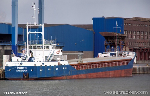
 RUBYN
RUBYN
Current Status
Where is the vessel?
RUBYN is currently in Near Marmara Ereglisi, based on AIS data received about 1h ago.
Latest AIS update:
Current position: 40.96357° N, 27.93274° E (Near Marmara Ereglisi)
Average speed (last 7 days): Loading…
Average speed (last 30 days): Loading…
Vessel profile: RUBYN is a General Cargo with dimensions m x m.
This page combines live AIS, route history, probable destination signals, nearby traffic, and port activity for practical vessel monitoring.
The current position of vessel RUBYN is 40.96357 lat / 27.93274 lng. Updated: 2026-05-14 10:06:08 UTCNearest reference points:
- Near Saraylar
- Near TEKIRDAG
- 11 nm E of Erdek
Currently sailing under the flag of Comoros ![]()
Details:
Live Vessel RUBYN Analytics (details, animations, etc.)
Recent AIS points (UTC):
2026-05-14 07:21:06 UTC · 40.96356, 27.93278 · SOG 0 kn · COG 182°2026-05-14 07:24:09 UTC · 40.96355, 27.93277 · SOG 0 kn · COG 182°
2026-05-14 09:36:05 UTC · 40.96357, 27.93274 · SOG 0 kn · COG 183°
2026-05-14 10:06:08 UTC · 40.96357, 27.93274 · SOG 0 kn · COG 183°