 vesseltracker.com
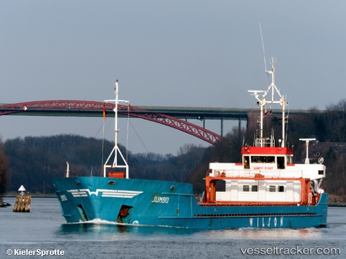
 JUMBO
JUMBO
Current Status
Where is the vessel?
JUMBO is currently in 28 nm E of Formentera Island, based on AIS data received about 2h ago.
Latest AIS update:
Current position: 38.72167° N, 2.17037° E (28 nm E of Formentera Island)
Average speed (last 7 days): Loading…
Average speed (last 30 days): Loading…
Vessel profile: JUMBO is a General Cargo with dimensions m x m.
This page combines live AIS, route history, probable destination signals, nearby traffic, and port activity for practical vessel monitoring.
The current position of vessel JUMBO is 38.72167 lat / 2.17037 lng. Updated: 2026-05-13 02:28:51 UTCNearest reference points:
- Near Andratx
- Near SANTA EULARIA
- 16 nm SE of Andratx
Currently sailing under the flag of Bahamas ![]()
Details:
Live Vessel JUMBO Analytics (details, animations, etc.)
Recent AIS points (UTC):
2026-05-13 01:21:27 UTC · 38.65961, 1.97661 · SOG 8.7 kn · COG 63°2026-05-13 02:15:35 UTC · 38.70798, 2.13300 · SOG 8.5 kn · COG 64°
2026-05-13 02:28:51 UTC · 38.72167, 2.17037 · SOG 8.6 kn · COG 62°
2026-05-13 02:28:51 UTC · 38.72167, 2.17037 · SOG 8.6 kn · COG 62°