 Ieva Simonaityte
Current Status
Where is the vessel?
Ieva Simonaityte is currently in Near Las Palmas, based on AIS data received about 14h ago.
Latest AIS update:
Current position: 28.15159° N, 15.41203° W (Near Las Palmas)
Average speed (last 7 days): Loading…
Average speed (last 30 days): Loading…
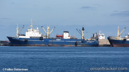
Vessel profile: Ieva Simonaityte is a Fishing Vessel with dimensions 116m x 17m.
This page combines live AIS, route history, probable destination signals, nearby traffic, and port activity for practical vessel monitoring.
The current position of vessel Ieva Simonaityte is 28.15159 lat / -15.41203 lng. Updated: 2026-05-23 11:33:41 UTCNearest reference points:
- Near Las Palmas
- Near Las Palmas de Gran Canaria
- Near TALIARTE
Currently sailing under the flag of Lithuania ![]()
Ieva Simonaityte built in 1989 year
Deadweight:
3915 tDetails:
Live Vessel Ieva Simonaityte Analytics (details, animations, etc.)
Recent AIS points (UTC):
2026-05-23 07:57:37 UTC · 28.15159, -15.41201 · SOG 0 kn · COG -1°2026-05-23 09:45:38 UTC · 28.15160, -15.41202 · SOG 0 kn · COG 177°
2026-05-23 11:12:39 UTC · 28.15159, -15.41202 · SOG 0 kn · COG 177°
2026-05-23 11:33:41 UTC · 28.15159, -15.41203 · SOG 0 kn · COG 177°