 vesseltracker.com
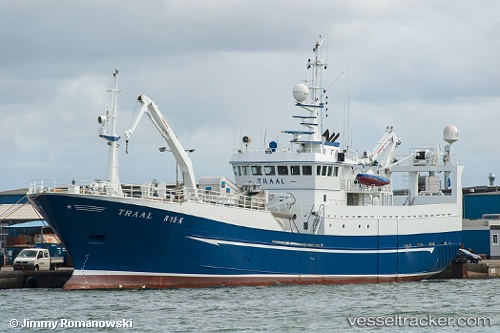
 Cetus
Cetus
Current Status
Where is the vessel?
Cetus is currently in Near DAKHLA, based on AIS data received less than 1h ago.
Latest AIS update:
Current position: 23.65639° N, 15.94585° W (Near DAKHLA)
Average speed (last 7 days): Loading…
Average speed (last 30 days): Loading…
Vessel profile: Cetus is a Fish Carrier with dimensions 53m x 53m.
This page combines live AIS, route history, probable destination signals, nearby traffic, and port activity for practical vessel monitoring.
The current position of vessel Cetus is 23.65639 lat / -15.94585 lng. Updated: 2026-04-24 23:56:03 UTCNearest reference points:
- Near DAKHLA
- 68 nm NW of Ad Dakhla
- 110 nm NE of Las Brujas
Currently sailing under the flag of Morocco ![]()
Cetus built in 1987 year
Deadweight:
1181 tDetails:
Live Vessel Cetus Analytics (details, animations, etc.)
Recent AIS points (UTC):
2026-04-24 19:44:04 UTC · 23.65641, -15.94585 · SOG 0 kn · COG 226°2026-04-24 21:27:02 UTC · 23.65642, -15.94584 · SOG 0 kn · COG 224°
2026-04-24 22:37:53 UTC · 23.65643, -15.94586 · SOG 0 kn · COG 223°
2026-04-24 23:56:03 UTC · 23.65639, -15.94585 · SOG 0 kn · COG 223°