 vesseltracker.com
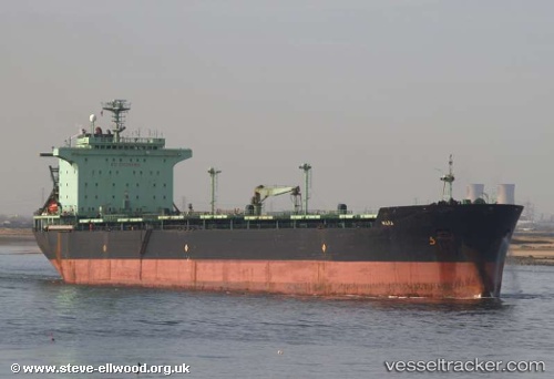
 MARA
MARA
Current Status
Where is the vessel?
MARA is currently in 13 nm SW of PUNTA DEL ESTE, based on AIS data received less than 1h ago.
Latest AIS update:
Current position: 35.08088° S, 55.17811° W (13 nm SW of PUNTA DEL ESTE)
Average speed (last 7 days): Loading…
Average speed (last 30 days): Loading…
Vessel profile: MARA is a Bulk Carrier with dimensions m x m.
This page combines live AIS, route history, probable destination signals, nearby traffic, and port activity for practical vessel monitoring.
The current position of vessel MARA is -35.08088 lat / -55.17811 lng. Updated: 2026-05-13 19:53:20 UTCNearest reference points:
- 12 nm S of Piriápolis
- 21 nm E of PUNTA DEL ESTE
- 16 nm N of Cabo San Antonio
Currently sailing under the flag of Liberia ![]()
Details:
Live Vessel MARA Analytics (details, animations, etc.)
Recent AIS points (UTC):
2026-05-13 17:03:03 UTC · -35.09031, -55.18705 · SOG 0.3 kn · COG 246°2026-05-13 17:24:10 UTC · -35.09030, -55.18703 · SOG 0.4 kn · COG 246°
2026-05-13 19:37:06 UTC · -35.08861, -55.18514 · SOG 1.4 kn · COG 331°
2026-05-13 19:53:20 UTC · -35.08088, -55.17811 · SOG 2.3 kn · COG 337°