 vesseltracker.com
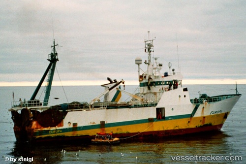
Seamount Explorer
Current StatusWhere is the vessel?
Seamount Explorer is currently in 85 nm NE of Telkwa, based on AIS data received about 442d ago.
Latest AIS update:
Current position: 55.90729° N, 125.82756° W (85 nm NE of Telkwa)
Average speed (last 7 days): Loading…
Average speed (last 30 days): Loading…
Vessel profile: Seamount Explorer is a Fishing Vessel with dimensions 12m x 44m.
This page combines live AIS, route history, probable destination signals, nearby traffic, and port activity for practical vessel monitoring.
The current position of vessel Seamount Explorer is 55.90729 lat / -125.82756 lng. Updated: 2025-02-26 05:06:26 UTCDetails:
Live Vessel Seamount Explorer Analytics (details, animations, etc.)
Recent AIS points (UTC):
2025-02-26 05:06:26 UTC · 55.90729, -125.82756 · SOG 2.8 kn · COG 306°